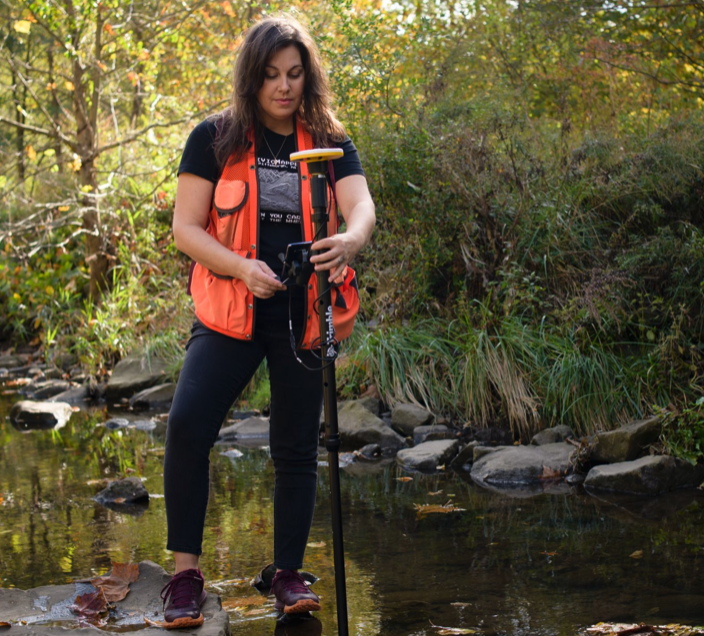
Get Pittsburgh: Emily Mercurio Has It All Mapped Out
Article by Pittsburgh Technology Council and The Machine
 Countdown on the loudspeaker: ten, nine, eight… and all the way down to one. That was the signal for Emily Constantine Mercurio to put her head down and cover her ears as she felt her school shake and tremble from the nearby explosion. This was no terrorist act, but a routine blast from the coal mine next door. It had become so natural in her upbringing, she was under the impression it happened in every school in America and never thought much of it. Yet, it would be the detonating event that launched her career as a geologist and eventually turn her into the co-founder, CEO and majority owner of CivicMapper, a tech startup offering geospatial technology solutions.
Emily grew up in a farm house near the town of Westmoreland, PA, where she went to school with all the sons and daughters of the nearby coal mine workers. Growing up there “definitely left an impression on me, but the one interesting thing that came out of that experience was that they would bring in fossils that they found when they were stripping coal and that’s when I decided to become a geologist, I was six years old.” While most of us were occupied thinking about the contents in our lunch box, Emily was looking at scientific career choices. “I didn’t know that you could do that as a job, study rocks. I’ve always been interested in the environment and science and the effects of human activity on the environment, that stuck with me from that experience and here I am.”
She left Pittsburgh to attend college and spent about 15 years in California and New York working as a geologist and a mapping specialist in geographic information systems. She returned to Pittsburgh in 2007 to get her PhD and after that worked at an oil and gas company as an exploration geologist, but five years into that job she realized she was ready to move on. “That’s when we formed the company with my two co-founders,” her husband Matt Mercurio and Christian Gass who met at a Code for Pittsburgh event. “Matt and Christian started talking about creating a tool and calling it CivicMapper to map civic infrastructure, so six months later we all started this together.”
The company started with a focus on stormwater projects, where there is a greater need for data visualization and a better understanding of environmental and monitoring data. Climate change has brought more frequent and more severe rain events and it’s really taken a toll on our stormwater and sewage infrastructure. “So we started working with Three Rivers Wet Weather and developing the sewer atlas, which is a unified map of all the sewage and stormwater infrastructure in the ALCOSAN service area. We pull data from 83 municipalities, brought it all together into this one unified connected networked data set that contains attributes of each piece of infrastructure, like the size of the pipe, the material, which direction liquid is flowing in those pipes, all of the pump stations, all of the pieces of the sewer network. And that is used by ALCOSAN to do a whole lot of different kinds of projects, by the municipalities within that service area and by PWSA.
Read Emily's entire profile at our sister site getPGH.com and check out other people doing amazing work in our tech ecosystem.